
Open (Exorheic) Watersheds
Drain to the ocean through connected river networks. Most large river systems are open basins.
- Outflow
- To ocean
- Connectivity
- River → mainstem → sea
- Example
- South Saskatchewan
Watershed Basics
A clear, practical guide to how water moves across land—and why that matters for communities, habitat, and planning.
Definition
A watershed is an area of land where rainfall and snowmelt drain toward the same place—such as a creek, river, wetland, or lake. Gravity moves water downhill through small channels that merge into larger streams and rivers. High ground—ridges and divides— separates one watershed from another.
Watersheds come in many sizes. Small local catchments nest inside larger basins. Mapping by topography, not by politics, means a watershed can cross municipal, provincial, and national boundaries.
How it works
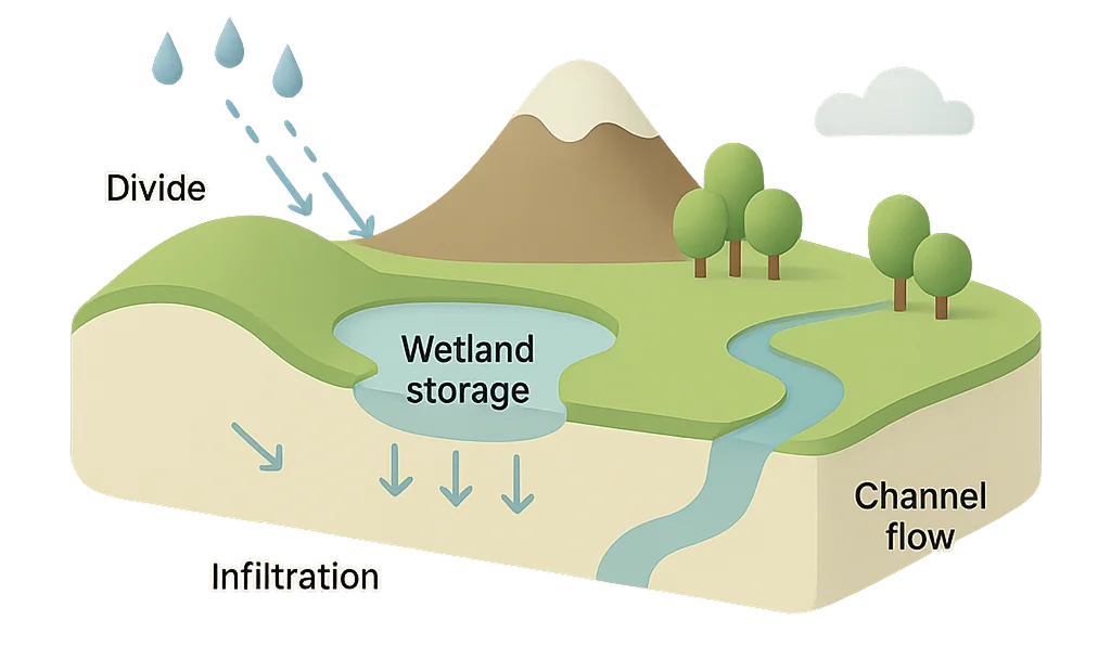
Key Components
High ground that sheds water into different drainage areas; small streams begin here.
Channels that connect hillslopes to mainstem rivers, carrying water, sediment, and nutrients.
Natural storage that moderates floods and supports biodiversity.
Low areas near rivers that spread and slow floodwaters, reducing downstream peaks.
Subsurface zones that filter water, store it, and release it slowly back to streams.
Vegetated streambanks that stabilize soil, shade water, and support habitat corridors.
Types
Drain to the ocean through connected river networks. Most large river systems are open basins.
Retain water with no natural outflow; water leaves mainly via evaporation or infiltration.
Both types can include wetlands, lakes, and groundwater—the difference is whether water ultimately exits the basin.
Why it matters
Healthy watersheds filter pollutants and support safe drinking water supplies.
Storage areas slow peak flows and sustain baseflows in dry periods.
Rivers, wetlands, and riparian zones provide critical habitat and migration corridors.
Human Influence
Impervious surfaces increase runoff; practices on fields and in towns influence sediment and nutrients. Storm sewers move water quickly, while compacted soils reduce infiltration and baseflow.
Human Influence
Riparian buffers, wetland conservation, and smart stormwater design slow and clean water—stabilizing banks, filtering pollutants, and improving habitat connectivity.
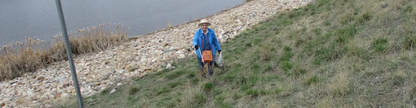
Stewardship
Rain barrels, native landscaping, and permeable surfaces help water soak in.
Keep vegetation along streams; fence livestock from banks to prevent erosion.
Apply fertilizers carefully; maintain septic systems to protect groundwater.
Continue exploring
Learn about SEAWA’s local watersheds and explore regional context.