
Watersheds & Knowledge
Local sub-watersheds
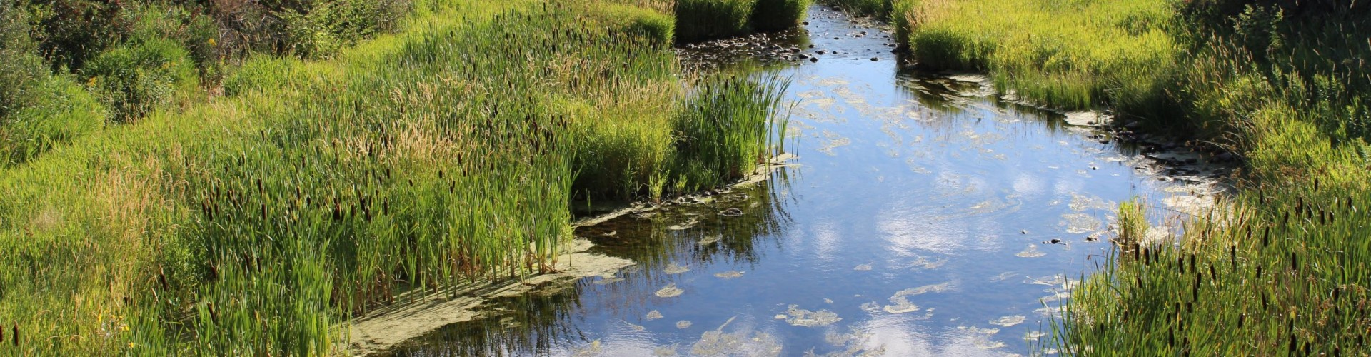
Small basins, big impact. Explore local coulees, creeks, and storm-fed pockets that connect our landscape to the South Saskatchewan system.
Local sub-watersheds
Quick looks at smaller basins across the region—maps, photos, and links to learn more.
-
 Pocket
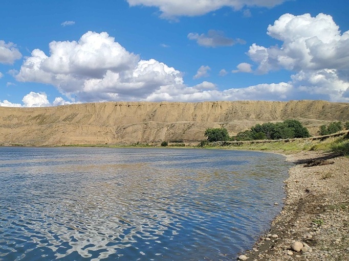
Many Island Lake
Pocket
Many Island LakeThe Many Island Lake sub-watershed straddles the Alberta/Saskatchewan border and extends north from Cypress Hills to the hamlet of Schuler.
See details → -
 Pocket
Seven Persons Creek
Pocket
Seven Persons CreekThe Seven Persons Creek sub-watershed is located primarily south and west of Medicine Hat and includes parts of the City of Medicine Hat, Cypress County and the County of Forty Mile.
See details → -
 Pocket
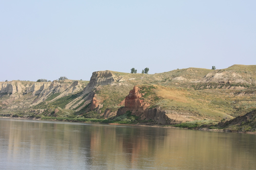
South Saskatchewan River – East
Pocket
South Saskatchewan River – EastThe Alberta portion of the South Saskatchewan River East sub-watershed is located almost entirely within Special Area No.3, a rural municipality in the east central region of Alberta.
See details → -
 Pocket
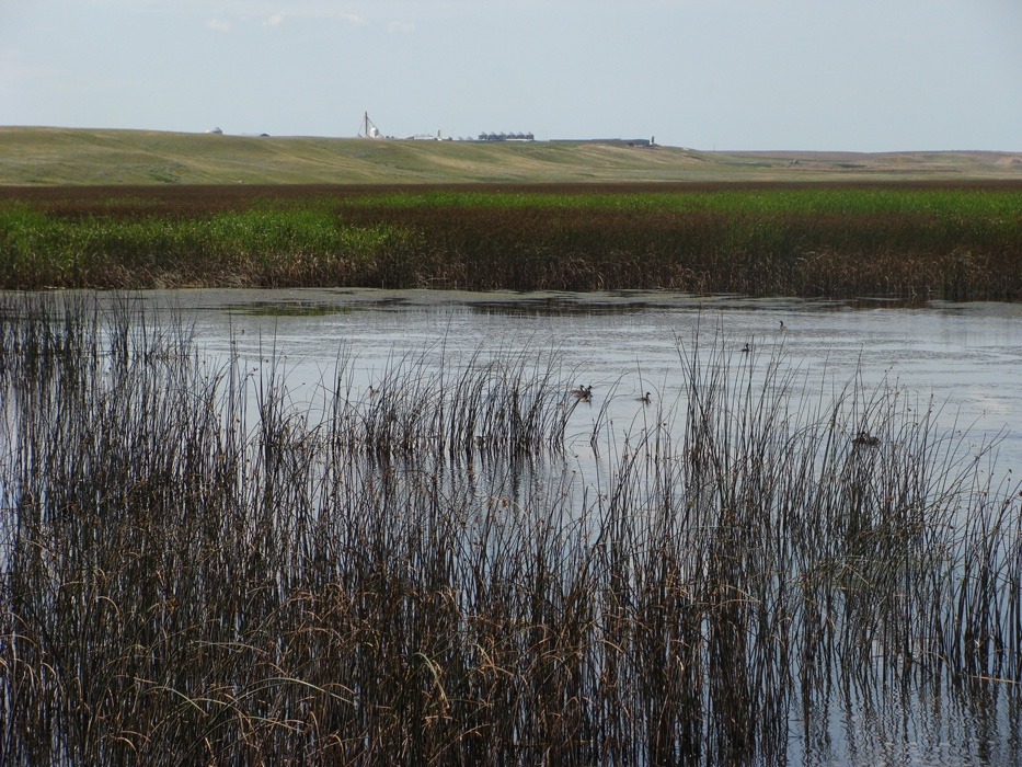
Pakowki Lake
Pocket
Pakowki LakeThe Pakowki Lake sub-watershed is located in southeastern Alberta, extending from Raymond to Manyberries.
See details → -
 Pocket
South Saskatchewan River – Central
Pocket
South Saskatchewan River – CentralThis central sub-watershed lies north of Medicine Hat and extends into parts of the Alberta–Saskatchewan border region.
See details → -
 Pocket
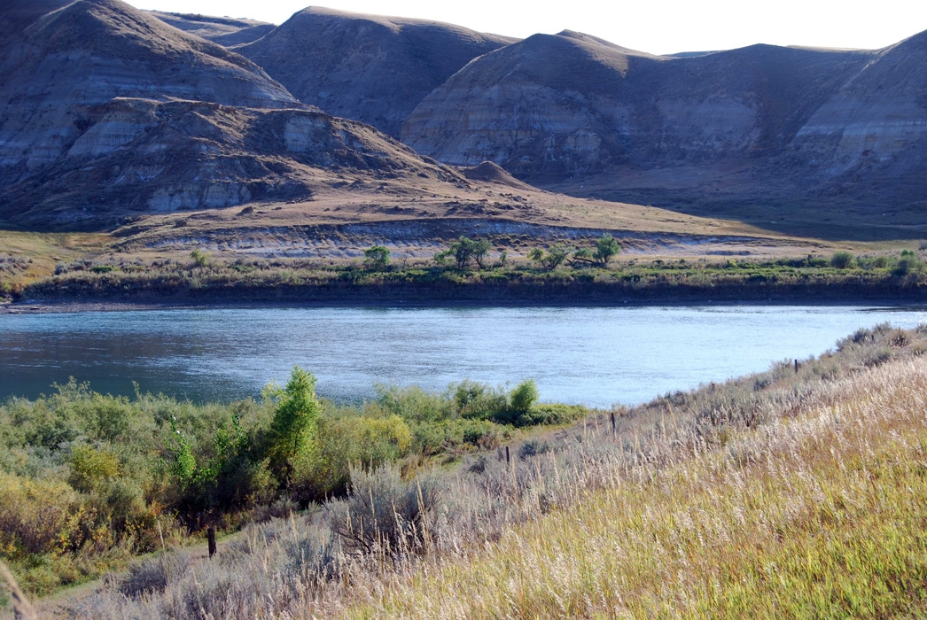
South Saskatchewan River – West
Pocket
South Saskatchewan River – WestLocated in southern Alberta, the West segment of the South Saskatchewan River sub-watershed is one of the most closely monitored regions in the area.
See details →